
Online Networking with similar EU projects
As part of Activity E.2. Networking with other projects on February 7th, a webinar was held with representatives of two EU projects – the Spanish SIOSE and the Slovenian LIFE IP CARE4CLIMATE project.
Along these two projects, webinar was also attended by Raul Radu, researcher of the Romanian National Institute for Development and Research in Forestry “Marin Dracea”. This online meeting, attended by a dozen CROLIS experts, aimed to exchange experiences and knowledge gained in the implementation of various projects and research and in this way improve the work on the establishment of CROLIS.
Each of the participants briefly presented their project and research work in a 15-minute presentation. LIFE CROLIS project manager, Domagoj Stjepan Krnjak, briefly presented the LIFE CROLIS project and its results.
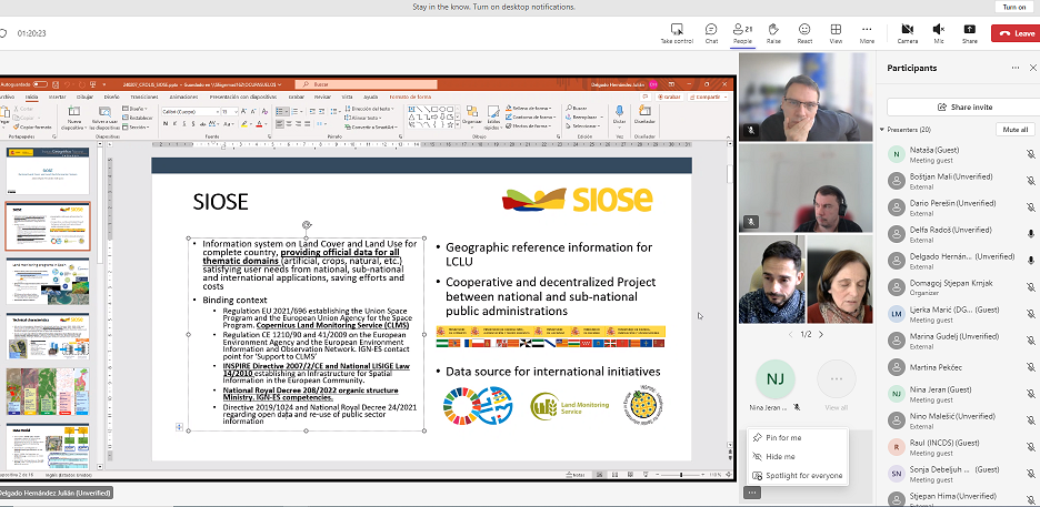
As Julian Delgado Hernandez, head of the SIOSE project, pointed out in his presentation, SIOSE project objective is to establish a reference geospatial information infrastructure for multidisciplinary use. What is interesting in the SIOSE project is the systematic work of the Spanish authorities on the long-term development and constant improvement of a multilevel and multidisciplinary system that has created a comprehensive unique database of geospatial information in Spain intended for use for a wide variety of purposes.
The LIFE IP CARE4CLIMATE project objective is raising the level of awareness through the education and training of key stakeholders, thus supporting the implementation of measures to achieve the goals of reducing greenhouse gas emissions in the Republic of Slovenia by 2020. and 2030. 15 partners from the public and private sector and non-governmental organizations participate in the project, one of them being the Forestry Institute, in front of which Boštjan Mali participated in the webinar.
Raul Radu works on research that is of interest to the LIFE CROLIS project, especially in the field of geostatistics and methodology development in determining the number of samples of georeferenced points for monitoring changes in land use. He briefly presented the projects he is working on and possible solutions for the establishment of a similar system for data processing in forestry in Romania for reporting purposes in the LULUCF sector.
In the discussion that followed, the participants discussed various technical details of the projects and shared advices on approaches for solving certain technical and implementation problems that they encounter in their work. At the end of the webinar, all participants expressed their desire and readiness for further communication and exchange of knowledge and potential connection through new initiatives.
Presentations:
Podjeli ovu novost koristeći: