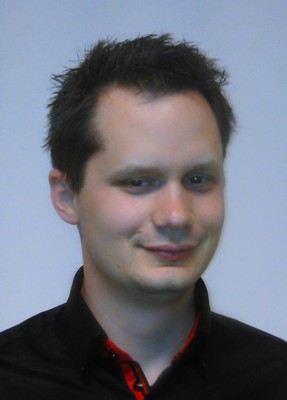
Mr. Miller, your work experience consists not only of scientific, but also of practical work on projects. In a few short sentences, introduce us with your professional career.
After finishing my studies in 2005, I got a job at the Faculty of Geodesy of the University of Zagreb as a professional associate and started working on professional projects. At that time, I was working on projects more oriented towards geodesy, but soon, due to the nature of the projects, I slowly entered the geoinformatics domain, where I still work today. In the beginning, these were primarily projects related to the establishment of geo-information systems and spatial databases, on which I got my doctorate, but with the rapid technological development of machine learning algorithms in the field of remote sensing, I have shifted my focus in the last few years. Today, my primary scientific and professional focus is the study of the use of geoinformation technologies in remote sensing as well as the use of machine learning in geoinformatics.
In addition to working on projects related to the LULUCF sector, what are your other areas of interest?
The LULUCF sector is very close to my current scientific study in the domain of machine learning and remote research, which is why I am involved in the LIFE CROLIS project, but my area of interest is the use of geoinformatics technologies in the transport profession, especially in the domain of road safety as part of iRAP (International Road Assessment programs). For the last ten years, I have been actively participating in road safety assessment projects using geoinformatics technologies, and my recent scientific research is also oriented in this direction.
What motivated you to join the LIFE CROLIS project as a member of the Advisory Board?
The LIFE CROLIS project requires a special approach to the processing of geospatial data, and this aspect represents a unique challenge for the successful completion of the project. The mere fact that this is a leading project of this type at the level, not only of the Republic of Croatia, but also at the level of the European Union, was enough for me to get involved. As an expert in the processing of geospatial data, I saw participation in the project as an opportunity for personal advancement, but also knowing about the importance of the project itself for the Republic of Croatia, I could not miss the opportunity. I am glad that with other members of the Advisory Board we can lay adequate foundations and help establish a system from the LULUCF sector on greenhouse gas emissions that will be an example for other members of the European Union.