
The Normalized Digital Surface Model of Croatia is available for use
On the State Geodetic Administration website, it is possible to obtain information and submit a request to download the Normalized Digital Surface Model (nDSM) of Croatia. This data can be useful to architects, spatial planners, public officials and employees, surveyors, and the academic community in their daily work.
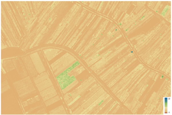
The LIFE CROLIS project collects, processes, and makes available a large amount of spatial data generated during the project’s implementation. During the preparation of the land cover and land use wall-to-wall map layers, one of the project’s deliverables is the Normalized Digital Surface Model (nDSM) of Croatia.
The Digital Surface Model (DSM) represents the land surface and includes all objects and features, including vegetation. The Digital Terrain Model (DTM) represents the ground surface without objects. The Normalized Model (nDSM) is obtained as the difference between high-quality DSM and DTM data.
The entire nDSM or its parts (nDSM data derived from DSM and DTM from laser scanning with a resolution of 1×1 m in tiff+tfw format (per sheet) according to the 1:2 000 sheet division) can be accessed after completing an informative user questionnaire and submitting a Request for Reuse of Normalized Digital Surface Model (nDSM) data created within the LIFE CROLIS project. The formal request for download of the nDSM has been available on the State Geodetic Administration’s website at the following link here.
More information could be found in project Results – Action C3 here.
Share this post: