
Advancing Land-Cover Classification in Croatia: Implementation of a Pilot Project for ARKOD+ and CROLIS LU Initial Layer Creation
During the first day of the International Conference on Environmental Remote Sensing and GIS (ICERS) held at the National and University Library in Zagreb from July 11 to 12, 2024, Sinergise Solutions Ltd. as developer and the Agency for Payments in Agriculture, Fisheries and Rural Development, as partner in the LIFE CROLIS project, presented the results of their work on LIFE CROLIS project. This involved presenting the results and experiences gained from the pilot project within the development of the Croatian Land Information System.
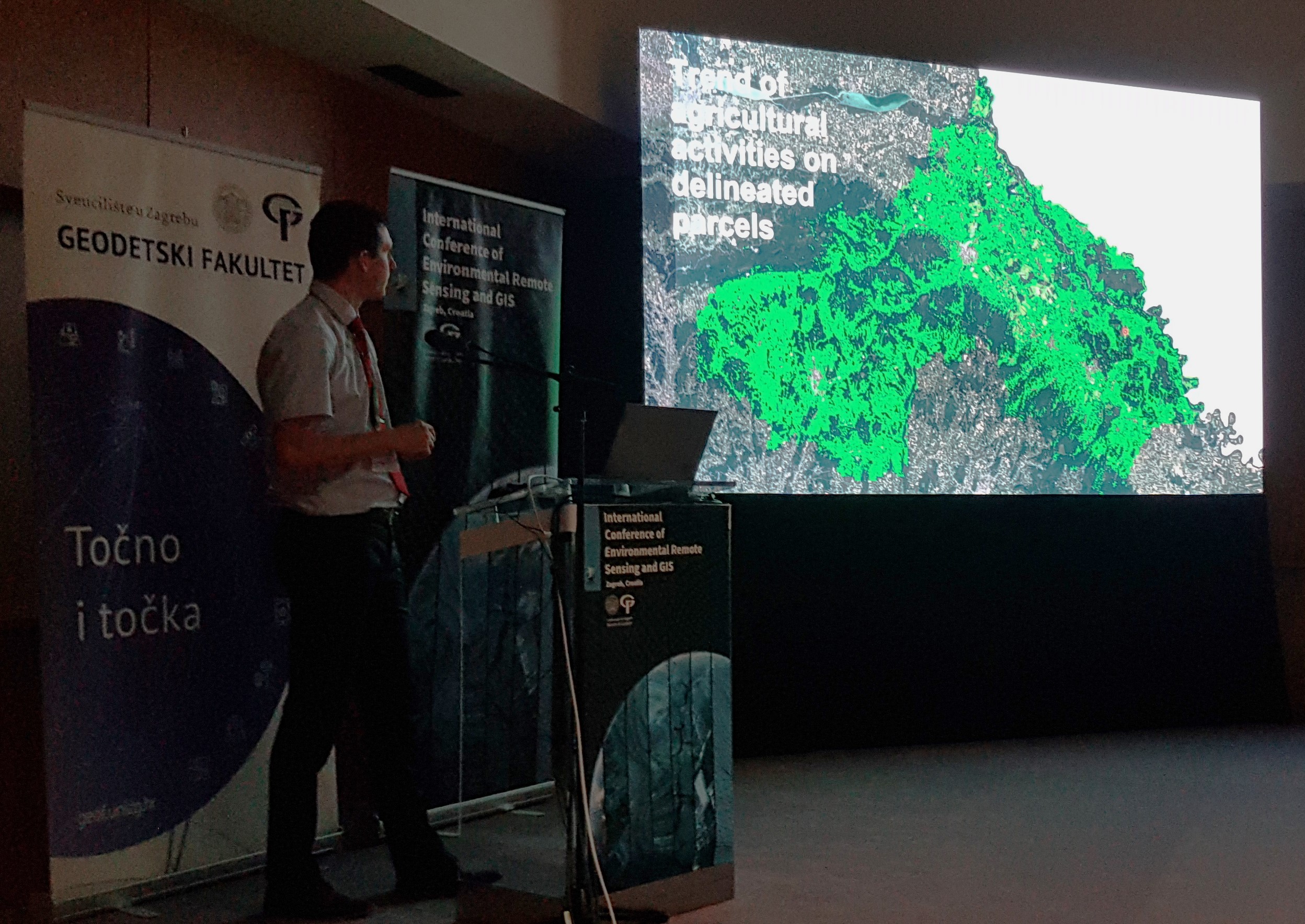
The pilot study was conducted in collaboration with the Paying Agency for Agriculture, Fisheries and Rural Development (PAAFRD), with implementation led by Sinergise Solutions d.o.o. and KING ICT d.o.o. as executors. This pilot initiative was integral for fulfilling objectives outlined in the LIFE CROLIS project, with PAAFRD as a key partner. The primary aim of the pilot project was to analyse training data and evaluate methodologies for automating land cover classification within the Republic of Croatia using Sentinel-2 satellite imagery. Additionally, the project aimed to generate an initial vectorized spatial dataset of agricultural land parcels (ARKOD+) by application of a delineation algorithm on aerial imagery.
Over a period of 10 months, starting on May 23, 2023, the project consisted of multiple phases organized into work packages, including, among others: analysis of input data and spatial frameworks, developing and applying algorithms for landcover classification and field delineation, evaluating results, preparing future methodology recommendations for field data collection/validation, and creating a GIS viewer. Additionally, a comparison was conducted between the use of PlanetScope Fusion and Sentinel-2 imagery for calculating markers identifying agricultural use in the Koprivničko-križevačka region.
This paper presents the framework, methodologies, and outcomes of this pilot project, shedding light on the feasibility and effectiveness of utilizing satellite data for automated land classification, with implications for land management and policy development.
Entire publication is avalable here or through the Conference website or via Open Access to all published papers: https://zenodo.org/communities/icers/.
Additionally, you can access the presentation here.
Share this post: